MCVD & EMRP Publications
ESRI
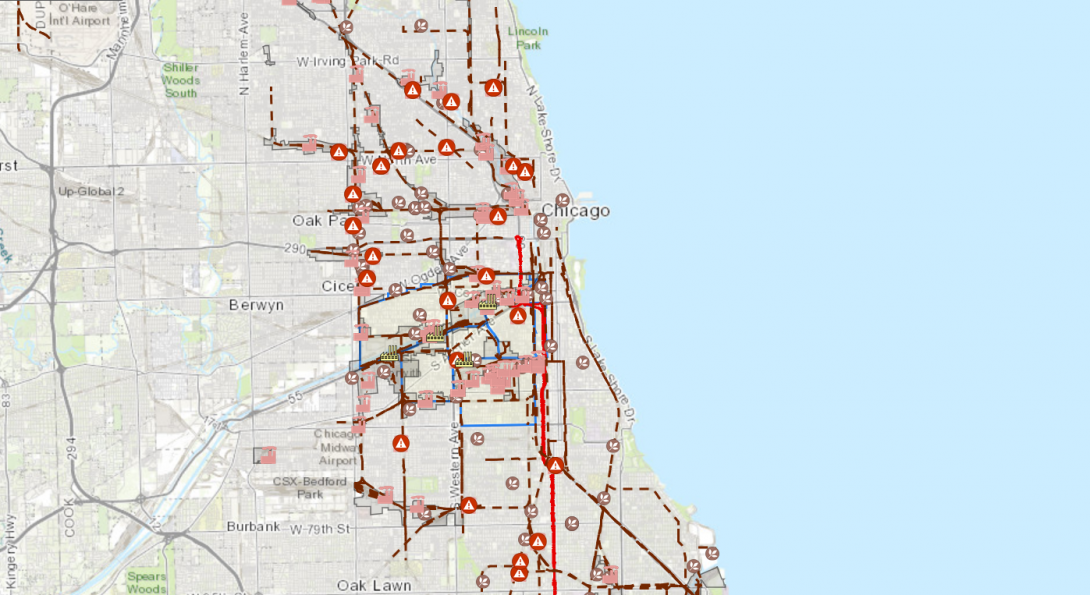
A major concern for the SEA communities are the numerous asphalt-producing facilities (see Map 1) that are not listed in the TRI program.
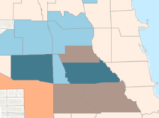
The EMRP team is actively involved in environmental justice and social vulnerability projects such as the one in the South West Chicago area. The following link provides a brief description of this project in a story map format: https://storymaps.arcgis.com/stories/28c9b80be613427fa07f008d72956426.
MCVD - EMRP Journals Heading link
Environmental Justice and Neighborhood Schools in Chicago, Illinois
The UIC School of Public Health (UIC-SPH) Emergency Management and Resiliency Planning (EMRP) program will be presenting a series of Midwest Comprehensive Visualization Dashboards (MCVD) focusing on environmental health and justice issues in this region.
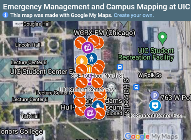
Emergency Management and Campus Mapping
EMRP student, Michael Collins, designed a wayfinding tool to improve the safety and accessibility for UIC's 1600 + students, faculty, and staff with disabilities.
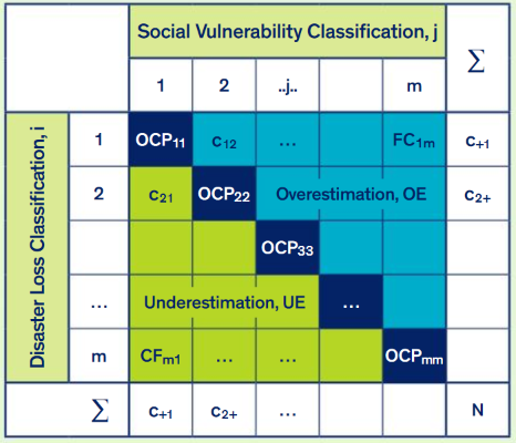
New Approach to the Social Vulnerability Indices
UIC EMRP and HPA faculty offer a solution to the problem of identifying populations at risk from disaster and the prediction of vulnerability and disaster prevention, by introducing a decision tree approach.
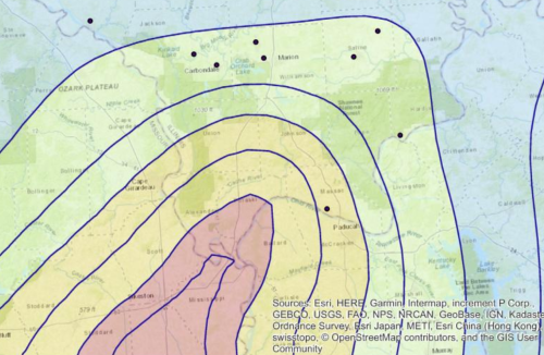
Utilizing HAZUS and PACER SURGE to map and characterize hospitals in Illinois within the New Madrid seismic zone
To highlight the need for utilizing disaster software to aid hospitals for disaster preparedness, specifically an earthquake occurring in the New Madrid Seismic Zone.